BRIDGEWATER AIR PARK (VBW)(KVBW) 1 SE UTC–5(–4DT) N38°21.92′ W78°57.54′
1165 B NOTAM FILE DCA
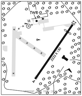
RWY 15–33: H4034X60 (ASPH) S–22 MIRL
RWY 15: Thld dsplcd 145′. Tree.
RWY 33: Fence.
SERVICE: FUEL JET A+ LGT ACTIVATE MIRL Rwy 15–33–CTAF.
AIRPORTREMARKS:Attended Mon–Fri 1300–2200Z‡, Sat 1400–2100Z‡, and Sun 1700–2100Z‡.
AIRPORT MANAGER: 540-828-6070
WEATHER DATA SOURCES: AWOS–3 119.55 (540) 828–2076.
COMMUNICATIONS: CTAF/UNICOM 122.7
®POTOMAC APP/DEP CON 132.85
CLEARANCE DELIVERY PHONE: For CD ctc Potomac Apch at 866-640-4124.
RADIO AIDS TO NAVIGATION: NOTAM FILE DCA.
MONTEBELLO (VL) (L) VOR/DME 115.3 MOL Chan 100 N37°54.03′ W79°06.41′ 019° 28.7 NM to fld. 3455/5W.
DME unusable:
158°–168° byd 30 NM blo 6,000′